General Information
Route planning is best started at home. Below you will find the most important information for planning the Bernina Trek. For further questions and tips, the hut wardens or the SAC section Bernina will be happy to help.
The trek is undertaken at your own responsibility and at your own risk. The SAC Bernina assumes no liability. Since there is often still a lot of snow in early June and most SAC huts are no longer staffed by mid of October, the best time to complete the Bernina Trek is from late June to early October.
Maps
The following Swiss national maps are suitable for route planning:
This hiking map covers the entire Bernina Trek area and provides a good overview:
Hiking map, scale 1:60 000: Sheet Oberengadin – Bergell – Puschlav
More detailed information for the individual areas:
Hiking maps, scale 1:25 000:
- Stage: Sheet 1237 Albulapass
- Stage: Sheet 1237 Albulapass, Sheet 1256 Bivio
- Stage: Sheet 1256 Bivio, Sheet 1257 St. Moritz, Sheet 1277 Piz Bernina
- Stage: Sheet 1277 Piz Bernina
- Stage: Sheet 1277 Piz Bernina, Sheet 1257 St. Moritz
- Stage: Sheet 1277 Piz Bernina, Sheet 1257 St. Moritz, Sheet 1258 La Stretta, Sheet 1278 La Rösa
- Stage: Sheet 1278 La Rösa
Signalisation
Red-White-Red:
The stages of the Bernina Trek mostly follow hiking trails marked in red-white-red.
Arrival
The starting point of the tour is Madulain. Traveling by train is recommended. From Landquart and Chur there are hourly connections.
The nearest airport is Zurich, from where Madulain can be reached in about 3 hours by train.
Parking spaces are available in limited numbers, but since this is a multi-day tour, travelling by car is not recommended.
From Poschiavo, you can return to the Engadin either by train or by PostBus. A train ride on the Bernina Express is really worthwhile.
Berninatrek Pass
Anyone who completes the entire Bernina Trek can collect a stamp at each hut and will receive a small surprise at the end.
Food
The huts offer dinner with soup, salad, a main course, and dessert, as well as a continental breakfast. On request, the hut wardens can prepare a packed lunch. Alternatively, you can bring along snacks and sandwiches. On the third stage there is an opportunity to shop in Silvaplana and on the fifth stage the route passes through Pontresina, where shopping is also possible.
Water
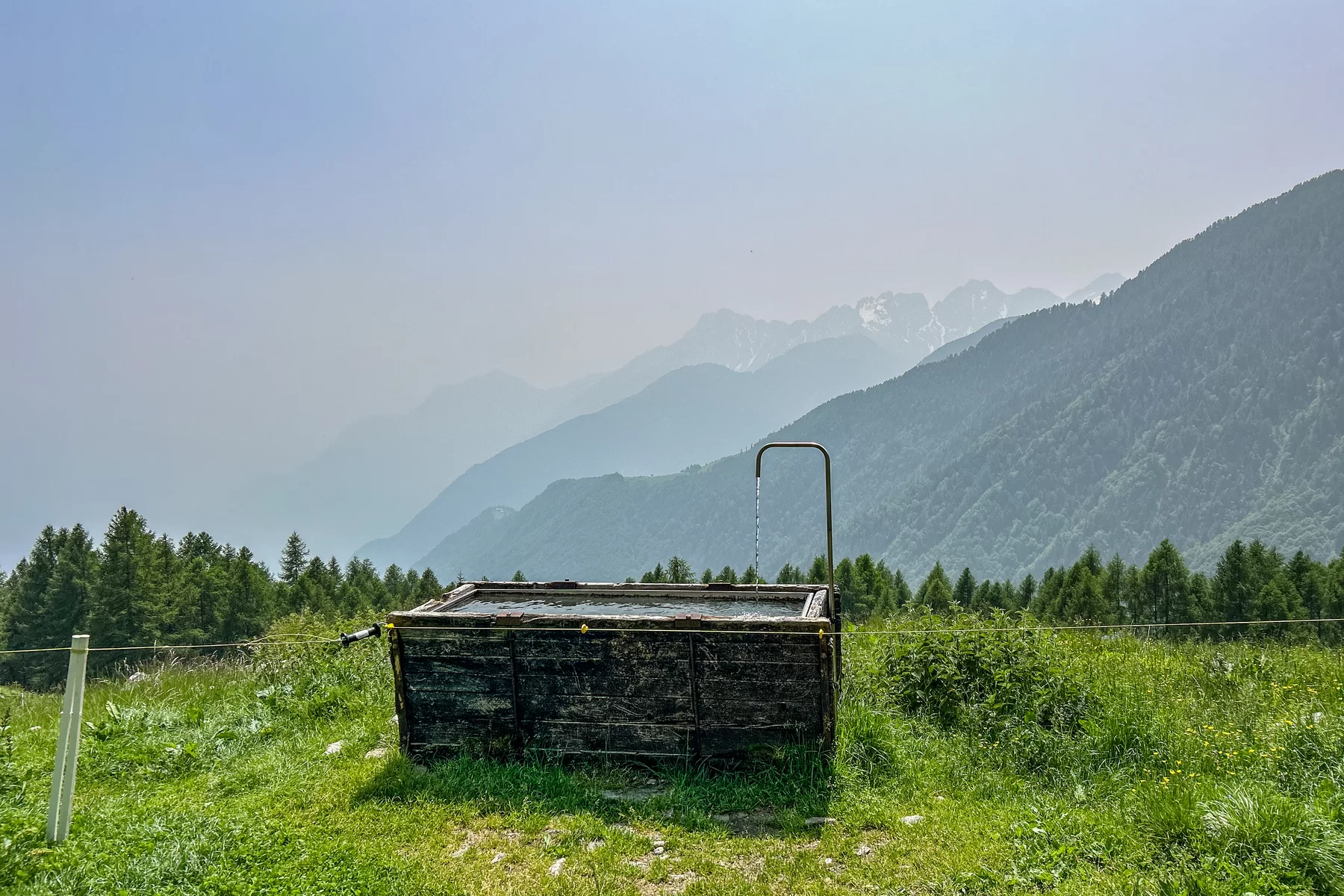
Every morning, each person receives 1 liter of hot tea for the trail in the huts (included in the price). Additional drinks can also be purchased. At the Jenatsch Hut, drinking water is available free of charge for refilling. On most stages, it is possible to refill water along the way, or you will pass at restaurants (Stage 2: Gasthof Albula, Stage 4: Hotel Val Roseg).
Packing list
Being properly equipped makes hiking much more enjoyable. On longer tours, it is advisable to reduce your luggage to the minimum, since every gram has to be carried up the mountain. Here is a suggested packing list of what you should definitely bring on a multi-day trek:
- approx. 30L backpack (ideally with rain cover)
- comfortable hiking boots
- trekking poles (if needed)
- rain jacket
- rain pants
- hiking pants (long and short)
- 2 T-shirts
- long-sleeve shirt
- fleece or light jacket
- hat, headband and gloves
- buff/scarf
- 2 pairs of hiking socks, 1 pair of regular socks for evenings
- 2 or 3 pairs of underwear
- down jacket
- hut sleeping bag
- headlamp
- small microfiber towel
- first aid kit (with plasters, bandages, disinfectant spray)
- sunscreen
- sunglasses
- toiletry bag (with toothpaste, toothbrush, small shower gel, small deodorant, brush/comb, hygiene products, cream)
- personal medication
- water bottle (at least 1 liter)
- snacks for the trail
- pocketknife
- possibly a small trash bag
- hiking map
- cash, ID, credit card, health insurance card
- phone, charging cable, power bank